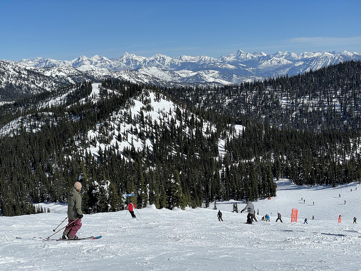
Flathead's mountain snowpack lags behind average
Daily Inter Lake | Daily Inter-Lake | UPDATED 4 years, 8 months AGO
A warm and dry end to winter has taken a toll on Western Montana’s mountain snowpack heading into spring runoff.
Mountain temperatures and precipitation in March lagged behind seasonal averages across the region — a drastic change after a good February, noted Lucas Zukiewicz, USDA Natural Resources Conservation Service water supply specialist for Montana. Snowpack percentages on March 1 were at a high point for the year, boosted by well above normal snowfall leading to near to above normal snowpack for almost all Montana river basins.
“Unfortunately, March weather started off on the opposite trajectory. Warm, dry air spilled into the state during the fist week of the month and many mountain SNOTEL sites matched record daily average temperatures on March 5,” said Zukiewicz.
The weather patterns of the first week foreshadowed the weather patterns for the month. While seasonal temperatures returned for brief periods, monthly temperatures recorded at most mountain locations were above normal for March.
During March, precipitation at both mountain and valley locations was well below average.
“For the most part, only the last week of March saw widespread accumulation of mountain snowpack, and after a three-week hiatus it did little to salvage monthly snow totals,” said Zukiewicz.
Snowpack percentages on April 1 have declined in all river basins in Montana since March 1. The Flathead River basin is at 90% of average, while the Kootenai is at 88%. The Bitterroot is the only river basin above average, at 110%, in Western Montana.
“This year’s silver lining has been the boost to the snowpack during February. While totals right now aren’t quite as pretty as they were at the beginning of the month, many river basins continue to have near to slightly below normal snowpack on April 1,” continued Zukiewicz.
Streamflow forecasts issued by the NRCS on April 1 for spring and summer runoff have also decreased since last month, and the decreases are notable in some river basins.
“Forecasts for spring and summer runoff in Montana are the lowest in the Red Rock, Ruby, and Madison River basins. In these areas, well below average flows can be anticipated unless the remainder of spring and summer yield above average precipitation, and more seasonal temperatures,” said Zukiewicz.
Not all areas of the state are expected to be below normal for runoff this year, and many regions of the state still have chances of near average flows for the coming runoff season.
“As always, our runoff prospects and timing are directly tied to the weather experienced in the coming two to three months,” said Zukiewicz. Mountain snowpack historically peaks at mid and high elevations during April, so the coming month will be critical to Montana’s water resources this summer and beyond.
“A return to normal temperatures and wetter weather patterns would be more than welcome at this point to slow the transition of the mountain snowpack towards melt and satisfy the existing soil moisture deficits present in many valley and plains locations,” said Zukiewicz.
A full report of conditions for April 1 can be found in the monthly Water Supply Outlook Report available on the Montana Snow Survey website on Wednesday, April 7. In addition, real-time snow survey data can be found at https://www.nrcs.usda.gov/wps/portal/nrcs/mt/snow/.

