Kalispell's December snowfall near all-time low
MATT BALDWIN | Hagadone News Network | UPDATED 2 years, 2 months AGO
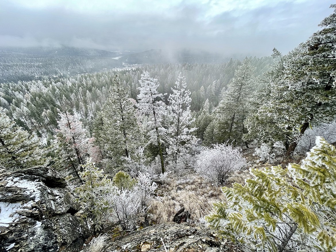
Rime ice coats trees near Lion Mountain west of Whitefish on Sunday, Dec. 31, 2023. (Matt Baldwin/Daily Inter Lake)
Hagadone Media Montana REGIONAL MANAGING EDITOR Matt Baldwin is the regional editor for Hagadone Media Montana, where he helps guide coverage across eight newspapers throughout Northwest Montana. Under his leadership, the Daily Inter Lake received the Montana Newspaper Association’s Sam Gilluly Best Daily Newspaper in Montana Award and the General Excellence Award in 2024 and 2025. A graduate of the University of Montana School of Journalism, Baldwin has called Montana home for nearly 30 years. He and his wife, Sadie, have three daughters. He can be reached at 406‑758‑4447 or [email protected]. IMPACT: Baldwin’s work helps ensure Northwest Montana residents stay connected to their communities and informed about the issues that shape their everyday lives. | January 1, 2024 11:00 PM
As Northwest Montana caps one of its driest Decembers on record, a return to winter weather is within sight.
Just 5 inches of snowfall was recorded at the weather station at Glacier Park International Airport last month. Kalispell normally averages 15.9 inches of snow in December.
The scant December total was the lowest for the month in Kalispell since 2011 and 17th lowest on record, according to records from the National Weather Service in Missoula.
Kalispell's average temperature last month of 29.4 was well above the normal average of 24.1, ranking it the 14th warmest December on record.
The lowest temperature for the month came Christmas Day when the thermometer dipped to 10. The lowest temperature in November was 9 degrees on Nov. 25.
The dry and warm winter driven by an El Nino weather pattern over the Pacific Ocean has affected all of Montana and much of the Pacific Northwest.
The Flathead River Basin snowpack was 57% of normal to end the year, while the Kootenai Basin was 58%. It was worse in the Upper Clark Fork Basin around Missoula where the snowpack ended 2023 at just 38% of normal.
A weather station on Flattop Mountain in Glacier National Park showed 38 inches of settled snow on the ground, with about 65% of the median snow water equivalent, with a station on the summit of Big Mountain had 37 inches of settled snow.
Meanwhile, a weather station at 5,650 feet on Blacktail Mountain above Lakeside showed just 3 inches of snow on the ground.
National Weather Service senior meteorologist Bob Nester said a change is on the horizon later this week. The high pressure ridge that has kept snowstorms at bay and filled Northwest Montana valleys with fog is finally expected to break down.
"A low pressure will be moving inland by later this week," Nester said. "It's going to kill the [high pressure] ridge."
That means a chance of accumulating snowfall and colder temperatures return to the forecast. Arctic air could move south out of Alberta and spill into Montana by Friday, opening the door for snow.
Nester said mountain snow is most likely, with early predictions of 4 to 10 inches over the higher terrain, while the valleys could see a few inches.
"A change to colder and wetter conditions is the bottom line," he said. "The days of high pressure are pretty much done."
Long-range forecasts show a cold and active weather pattern hanging around, which would bode well for replenishing mountain snowpack.
Nester noted that while the winter has been lackluster thus far, there's plenty of time to reverse course.
"This has happened before," he said. "We have had dry starts and then catch up pretty quickly."
December 2002 was pretty similar, he pointed out, and by April of that year the mountain snowpack was 105% of normal.
ARTICLES BY MATT BALDWIN

PHOTOS: No Kings protest draws crowd to Whitefish
A No Kings protest against the Trump administration drew hundreds of people to Grouse Mountain Fields in Whitefish on Saturday, March 28, 2026. The event, hosted by Flathead Democracy, was one of thousands held across the U.S., according to national event organizers.

Avalanche danger high after 2 to 3 feet of new snow
Dangerous backcountry conditions prompted a special avalanche warning Friday morning after Northwest Montana mountains were buried in 2 to 3 feet of snow.
Avalanche danger high after 2 to 3 feet of new snow
Dangerous backcountry conditions prompted a special avalanche warning Friday morning after Northwest Montana mountains were buried in 2 to 3 feet of snow.