Flathead Forest OKs 3 projects to reduce wildfire risks
MATT BALDWIN | Hagadone News Network | UPDATED 1 year, 8 months AGO
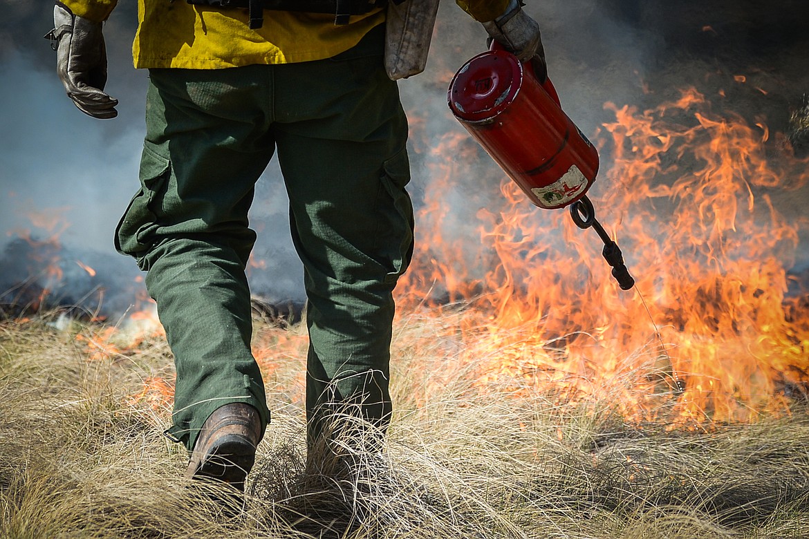
Nick Aschenwald, with the Montana DNRC, uses a drip torch to ignite bunch grass during a prescribed burn at Lone Pine State Park in Kalispell on Thursday, April 7, 2022. Held in conjunction with Montana Fish, Wildlife & Parks, the prescribed fire is aimed at benefiting the park's grassland habitat, including native plants and the wildlife species that frequent the area.(Casey Kreider/Daily Inter Lake)
Hagadone Media Montana REGIONAL MANAGING EDITOR Matt Baldwin is the regional editor for Hagadone Media Montana, where he helps guide coverage across eight newspapers throughout Northwest Montana. Under his leadership, the Daily Inter Lake received the Montana Newspaper Association’s Sam Gilluly Best Daily Newspaper in Montana Award and the General Excellence Award in 2024 and 2025. A graduate of the University of Montana School of Journalism, Baldwin has called Montana home for nearly 30 years. He and his wife, Sadie, have three daughters. He can be reached at 406‑758‑4447 or [email protected]. IMPACT: Baldwin’s work helps ensure Northwest Montana residents stay connected to their communities and informed about the issues that shape their everyday lives. | July 19, 2024 12:00 AM
Work is expected to begin this fall on projects aimed at reducing the severity of wildfires at three locations around the Flathead Valley.
The Flathead National Forest on Wednesday approved up to 1,633 acres of fuel breaks along Ashely Lake west of Kalispell, Good Creek northwest of Whitefish and Lion Hill near Martin City. Each of the projects is located within a so-called wildland urban interface where forested areas abut residential communities.
The work on Ashley Lake is planned for 330 acres near Rand Creek along the north shore. Private homes and two public campgrounds encircle the lake.
The Good Creek fuel break will encompass 1,077 acres near numerous private homes and structures southwest of Olney. The Lion Hill project is 226 acres along Lion Hill Road and the South Fork of the Flathead River, within the vicinity of Martin City.
According to the Forest Service, the projects are authorized under a portion of President Joe Biden's Bipartisan Infrastructure Law which allows the construction of fuel breaks adjacent to roads, trails, powerlines or similar infrastructure.
Flathead County commissioners in 2023 offered a letter of endorsement for the proposals, citing the need to protect properties, the environment and infrastructure from the effects of wildfire.
"In tandem with the growing number of citizens establishing home ignition zones around their residences and undertaking forest management on their lands to curtail fire intensity, it becomes increasingly imperative for government agencies to actively engage in land treatment efforts," the commissioners wrote to the Forest Service.
Forest crews will installed shaded fuel breaks in these three locations by thinning understory along roads to reduce ladder fuels and tree densities, while leaving mature overstory intact. Mechanical thinning, hand thinning and pile burning will be used to reduce the vegetative fuel loads. Each fuel break has a maximum width of 1,000 feet.
The fuel breaks would be created over the next five to 10 years, with no repeat treatments planned. Access would be from existing roads. No closed roads would be used and no new permanent or temporary roads would be constructed.
Forest officials say the treatments are intended to reduce the likelihood of fire spreading into tree crowns. Fuel breaks also provide strategic access and defensible features for fire managers during a wildfire response, while also reducing risk to firefighters.
ARTICLES BY MATT BALDWIN

PHOTOS: No Kings protest draws crowd to Whitefish
A No Kings protest against the Trump administration drew hundreds of people to Grouse Mountain Fields in Whitefish on Saturday, March 28, 2026. The event, hosted by Flathead Democracy, was one of thousands held across the U.S., according to national event organizers.

Avalanche danger high after 2 to 3 feet of new snow
Dangerous backcountry conditions prompted a special avalanche warning Friday morning after Northwest Montana mountains were buried in 2 to 3 feet of snow.
Avalanche danger high after 2 to 3 feet of new snow
Dangerous backcountry conditions prompted a special avalanche warning Friday morning after Northwest Montana mountains were buried in 2 to 3 feet of snow.