High winds forecast Tuesday and Wednesday
CHERYL SCHWEIZER | Hagadone News Network | UPDATED 7 hours, 56 minutes AGO


Senior Reporter Cheryl Schweizer is a journalist with more than 30 years of experience serving small communities in the Pacific Northwest. She began her post-high-school education at Treasure Valley Community College and enerned her journalism degree at Oregon State University. After working for multiple publications, she has settled down at the Columbia Basin Herald and has been a staple of the newsroom for more than a decade. Schweizer’s dedication to her communities and profession has earned her the nickname “The Baroness of Bylines.” She covers a variety of beats including health, business and various municipalities. | December 16, 2025 3:15 AM
MOSES LAKE — While the heavy rain, heavy snow and flooding are expected to stay north of the Columbia Basin, the Basin won’t escape the storms forecast to roll through the region this week. According to the National Weather Service, it’s going to get pretty windy.
“We do have a very busy week ahead of us,” said Antoinette Serrato, meteorologist with the National Weather Service in Spokane.
The rain and the wind arrived on Monday, with the Washington Department of Transportation reporting heavy rain at Snoqualmie Pass by noon Monday. Winds started ramping up Monday morning.
“It’s already breezy out there,” NWS meteorologist Andrew Braun said Monday morning. “It’s going to stay breezy.”
The windy Monday was only the prelude, Serrato said.
“The really impactful winds will be (Tuesday) through early Wednesday,” she said.
The winds are forecast to pick up Tuesday afternoon, with sustained winds across Central and Eastern Washington of 25-45 miles per hour. Wind gusts in the Columbia Basin are forecast to be 40-45 mph in Moses Lake and 60-70 mph in Ritzville.
“One thing that we are particularly concerned with is those sustained winds,” Serrato said. Sustained continuous winds of up to 45 miles an hour could lead to some big impacts alongside those gusts.”
Moses Lake has a 60% probability of wind gusts higher than 50 mph Wednesday, Serrato said.
Strong winds can tear the limbs off trees and knock over power poles, as well as make it more difficult to drive semitrucks and similar vehicles. Conditions are complicated by the warm temperatures regionwide and the heavy rains in some locations over the last 10 days. Trees, even big ones, are at increased risk of falling when the ground is both saturated and unfrozen.
The winds are forecast to decrease by Thursday, and temperatures will drop from a forecast high of 52 degrees Tuesday to 41 degrees Saturday. Snow is not in the forecast for the Columbia Basin. But snow is forecast in the mountains, and it’s going to get nasty up there, starting Tuesday night and early Wednesday morning.
“Snow rates could reach one inch an hour at times on Stevens and Snoqualmie passes,” Serrato said. “And by the end of the weekend, Stevens will have several feet of snow. Definitely some wintry driving conditions and dangerous driving conditions coming up for the mountain passes.”
While heavy rain is forecast early in the week in the mountains, the storm isn’t as severe as last week's. That storm caused widespread flooding and significant damage in Western Washington, flooded sections of Leavenworth and Peshastin in Chelan County and destroyed roads and buildings in Stehekin at the head of Lake Chelan. Stehekin is projected to get four to eight inches of snow by Thursday.
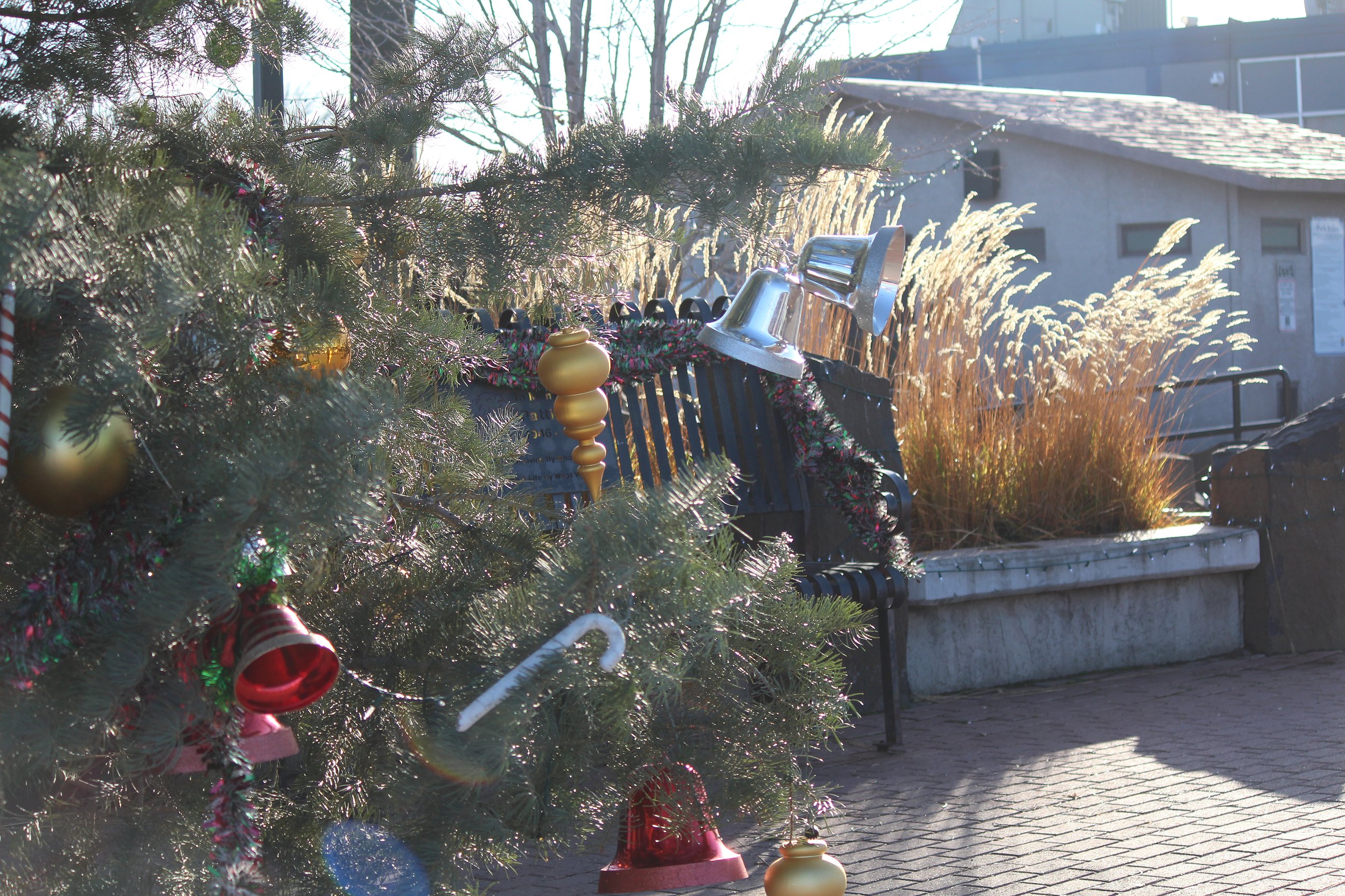 Grasses and Christmas tree ornaments blow in the wind Monday. It’s forecast to be really windy by Wednesday morning.
ARTICLES BY CHERYL SCHWEIZER

Grant PUD seeks rate input
EPHRATA — Grant County Public Utility District customers have until Dec. 23 to submit their comments on proposed rate hikes that would go into effect in April 2026. Comments can be submitted at Grant PUD: Commission Meetings. Customers commenting at the last PUD commission meeting of 2025 said higher rates are going to be a challenge. Commissioner Terry Pyle said the PUD is facing challenges too.

High winds forecast Tuesday and Wednesday
MOSES LAKE — While the heavy rain, heavy snow and flooding is expected to stay north of the Columbia Basin, the Basin won’t escape the storms forecast to roll through the region this week. According to the National Weather Service, it’s going to get pretty windy. “We do have a very busy week ahead of us,” said Antoinette Serrato, meteorologist with the National Weather Service in Spokane.

More rain for Cascades, high winds for Columbia Basin this week
LEAVENWORTH — A second strong winter storm is projected to hit Washington this week, bringing heavy rains back to areas that were hard-hit by rain and flooding last week. Steve Bodnar, meteorologist with the National Weather Service office in Spokane, said rain is forecast to start Monday, but won’t last as long.