
Hemler Creek a nice Swan Range diversion
RIVER BLAZEJEWSKI | Hungry Horse News | UPDATED 10 months, 4 weeks AGO
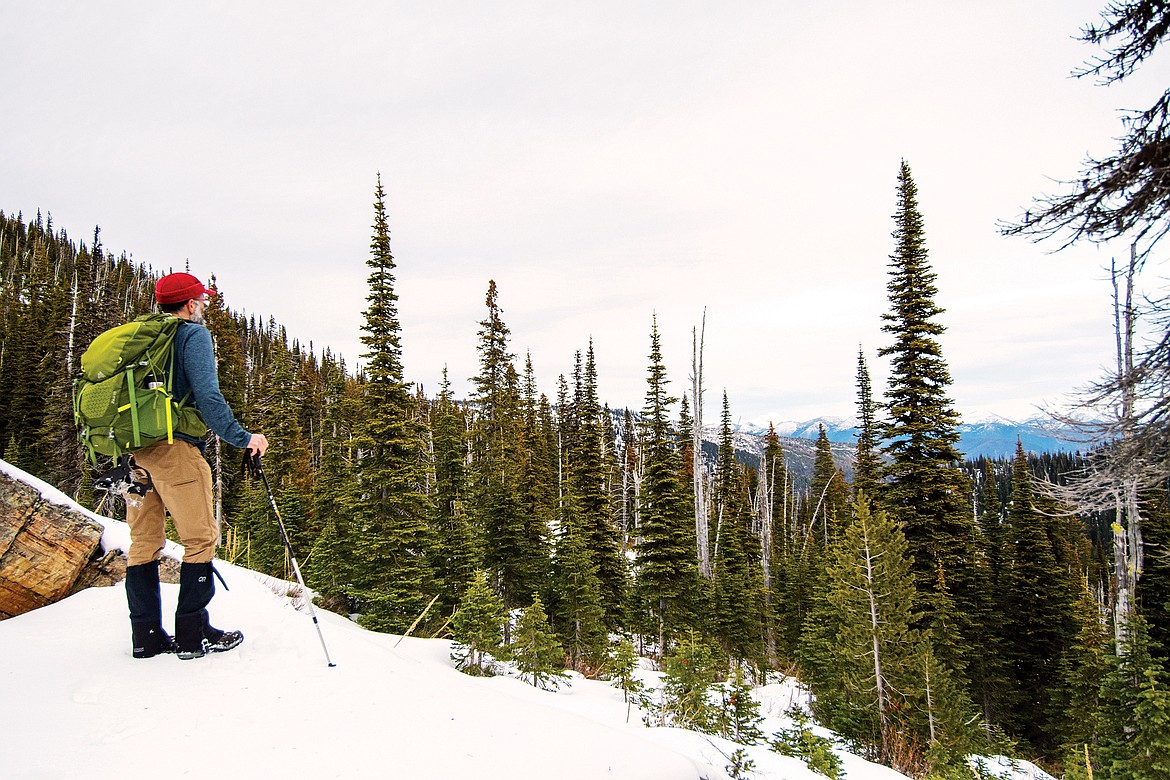
Gary Blazejewski looks into Glacier National Park from Alpine Trail No. 7 recently. (River Blazejewski photo)
As autumn comes to a close, my father and I figured we’d get out for one last chance at a peek into Glacier, before the mountains become fully encapsulated in ice.
I’m a map junky, which means I’m guilty of exploring places three hours away, pushing aside all of the local plans until a later date that never comes. I first got the idea to explore Hemler Creek when I realized that it’s one of the closest hikes in proximity to Columbia Falls.
We were blessed recently with a beautiful Sunday, and it seemed like the perfect opportunity.
The Hemler Creek trailhead is located on Trail Creek Road, off of Peters Ridge Road. It’s about an hour drive from Columbia Falls, as the 8.5 mile stretch of Forest Service road is decently maintained but still slow going.
The trail meanders along an old logging road for the first three miles, turning to singletrack at an abrupt overgrown turn around.
It’s open to ‘two wheeled motorcycles’ year round; however, there’s honestly no sign of dirtbikes past four miles.
The entire area appears to have been intensely logged in the past. Looking out from Hemler Creek at the neighboring Peters Ridge, you’ll notice distinct veins of Western Larch tracing old roads up the hillside, a sign of light shining through to the forest floor.
We must’ve seen 10 to 15 bear poop patties, most of which were neon orange from all the mountain ash berries they’d been eating.
Upon hitting singletrack, the going gets tough. Most of the elevation gain is in the last two miles, which are also the prettiest. After topping out on a false ridge, you traverse along a flat bench toward a second ridge. This was where we got the best views of Lake Blaine, as the golden glow of larches stretched across its calm waters.
A pinkish hue hung over Flathead Lake, and we could see all the way down to Polson.
Once you cross over the second ridge, the trail underfoot takes the familiar feel of purple-gray glacial shale.
We hit snow at around 5.5 miles. After six miles, we reached the intersection with Alpine 7 surprisingly marked with signs. If snow had come earlier, or the trail wasn’t well maintained (there was only one sizable down tree), we probably wouldn’t have made it.
At the top, the bustling signs of summer life had all but vanished.
No birds chirped. Subalpine fir snowghosts stood rigid in the cold. The views of Mount Stimson, encased in snow, were the best we’d ever had.
We were grateful for our success. However, Alpine 7 can’t seem to come to terms with a non windy day, so we didn’t stay long. We made it back to the car around three, taking an abandoned bike helmet and a shot up oxygen tank as mementos.