
Firefighters make progress on Upper Smith
CAROLINE LOBSINGER | Hagadone News Network | UPDATED 2 months, 2 weeks AGO
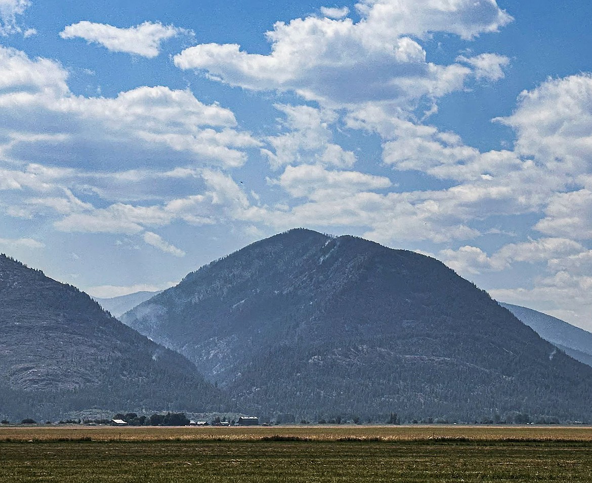
A view of the Upper Smith Fire from the Kootenai River Valley on Wednesday, Aug 5.
Photo courtesy USDA FOREST SERVICE
I grew up in the Tri-Cities, Wash., and have always loved to write. I attended the University of Washington, where I earned a double major in journalism and political science, with an area of emphasis in history. I am the fifth out of six kids — don't believe any of the stories that my siblings tell. To be able to tell others stories and take photos for a living is a dream come true — and I considered myself blessed to be a community journalist. When I am not working, I enjoy spending time with family and friends, hiking and spending time outdoors, genealogy, reading, and watching the UW Huskies and the Seattle Seahawks. I am a servant to my cat, Frankie, who yes, will eat anything and everything in sight … even wedding cookies. | August 8, 2026 1:00 AM
BONNERS FERRY — Crews continue to mop up and patrol along control lines of the Upper Smith Fire as command transitioned to Northern Rockies Team 9.
While some interior smoke and smoke columns are expected as heavier fuels continue to burn within the fire area, officials said minimal fire behavior is expected along established control lines.
Friday, firefighters patrolled control lines near Long Canyon Creek and the fire's edge near an old avalanche chute on the west and along Smith Creek on the east. Also, aerial crews conducted water drops to cool the fire’s edge.
Patrol and mop-up efforts along control lines are ongoing to prevent and catch potential spot fires. The goal is to keep the fire west of West Side Road and south of Smith Creek.
Mop-up is the process where firefighters return to the burned area to ensure the fire won’t threaten containment lines, Northern Rockies officials said. They search for any remaining heat, smoke or smoldering materials and extinguish them to prevent future flare-ups.
There are 197 personnel assigned to the fire, including six helicopters, four hand crews, two engines and seven water tenders. The fire is 45% contained.
Temporary flight restrictions are in effect to ensure the safety of suppression aircraft. Both personal aircraft and drones are included in the TFRs.
Both Smith Creek Road and Long Canyon Trail have been closed to public travel. Closures in the Westside and Kerr Lake Road areas, as well as a closure of Riverside Street, are connected to county projects. The Parker Ridge Trail is in the process of being closed due to its access to the bridge construction and its proximity to road prep work related to the Upper Smith Fire.
In Bonner County, the Porcupine Fire has burned 75 acres. Located 2 miles east of Porcupine Lake in Bonner County's Porcupine Creek drainage, most of the fire's growth is to the east toward Beetop Mountain.
Rollout of burning material in cliffs and subalpine fir has resulted in short uphill runs, active flanking, which is where the fire grows from its sides, and single-tree torching. Air resources will continue to be requested as needed.
"The terrain continues to pose the most challenges, and fire crews are evaluating the area for the safest and most effective indirect strategies," IPNF officials said. "Indirect options include handline, machine line, and natural and man-made features where fire can be held."
Firefighters continue to rely on air support to keep fire growth in check. There remain no options for direct fireline construction due to the steep terrain, cliffs and rocks.
Firefighting personnel will be using Porcupine Lake Trail 642 to access the fire area, and Porcupine Lake will act as a dip site for air resources, officials said. Residents and recreationists are reminded to exercise caution and yield to firefighting aircraft.
Fire danger is rated as extreme in the region, meaning that fires of all types start quickly and burn intensely, according to local U.S. Forest Service officials.
Stage 2 fire restrictions are in effect in Bonner and Boundary counties, while Stage 1 fire restrictions are in effect in Kootenai, Shoshone and Benewah counties.
The restrictions apply to all lands managed or protected by the Idaho Panhandle National Forests, Bureau of Land Management, Idaho Department of Lands and the Coeur d’Alene Tribe. All state endowment, federal, tribal and private forest and range land are included in the restrictions.
The Stage 1 fire restriction prohibits campfires and stoves outside of designated recreation sites, on private property or within an owner-provided fire structure. Under Stage 1, smoking is prohibited unless it is being done in an enclosed vehicle or building, or while stopped in an area that is at least 3 feet in diameter that is either barren or cleared of all flammable materials.
Stage 2 fire restrictions prohibit fires and campfires; smoking except within an enclosed vehicle or building, or a designated recreation area that is at least 3 feet in diameter and barren or cleared of flammable materials.
In addition, operation of motorized vehicles, including ATVs, UTVs and pickups, is prohibited outside of designated roads and trails. "Hoot Owl" restrictions also apply from 1 p.m. to 1 a.m., limiting operation of chain saws and machinery to those hours.
For more information on fire restrictions, go to bit.ly/45a7eIT.
Information: InciWeb.wildfire.gov
ARTICLES BY CAROLINE LOBSINGER

Wellness fair puts focus on health
The Wellness & Connection Fair is bringing together local health and wellness professionals together in Sandpoint for a day of presentations, activities and community resources.

BCSD pays share of ISBT shortfall
District opts to make lump sum payment
Boundary County School District paid $217,000 to cover its share of the Idaho School Benefit Trust's $13 million shortfall.

Deadline extended for 'Valor' stories
The Valor publication is gathering photos, military service details and personal stories from Boundary County veterans and military families. Featured profiles highlight local service members' contributions, achievements and sacrifices across generations.