
Rivers rise as rain drenches western Montana
Hagadone News Network | Valley Press-Mineral Independent | UPDATED 1 month, 1 week AGO
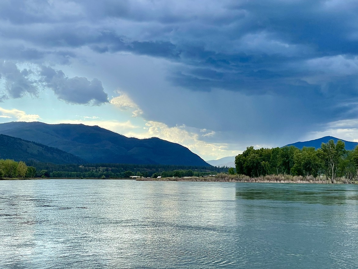
The Clark Fork River flows through Plains. (Matt Baldwin/Hagadone News Network)
Days of moderate rainfall combined with mountain snowmelt was expected to cause some minor flooding across Northwest Montana this week.
The cool, slow-moving weather system drenched the region and was predicted to last through Tuesday. Along with persistent rain, snow was likely for mountains over 7,000 feet.
Flood warnings were in place for parts of Flathead, Lake and Sanders counties. Between 1 and 3 inches of rain had fallen as of Monday morning, with another inch likely.
"Flooding of rivers, creeks, streams and other low-lying and flood-prone locations is imminent or occurring," the warning stated. "Streams continue to rise due to excess runoff from earlier rainfall."
Montana 200 east of Thompson Falls was temporarily blocked Friday after more than 2 inches of rain fell in two hours, triggering mudslides and a car-sized boulder on the road, the National Weather Service in Missoula reported.
The Clark Fork River at Plains was anticipated to stay below flood stage and top off at 13.7 feet on June 1 before lowering to 12.3 feet later in the week. Minor flood stage is 15 feet.
The Flathead River at Columbia Falls crested 13.8 feet on May 30. It was expected to drop below the 13-foot minor flood stage by June 2.
Sun returns to Western Montana by Wednesday before another shot of rain over the weekend.