
Snowpack deficits continue to grow across Montana
Natural Resources & Conservation Service | Lake County Leader | UPDATED 6 months AGO
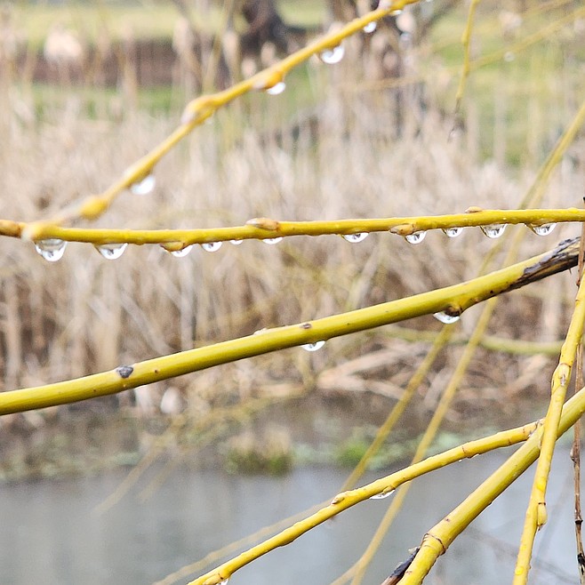
March showers may help – especially those that dump snow at higher elevations – may help curb the dismal snowpack report. (Berl Tiskus/Leader)
As of March 1, most Montana basins are reporting below normal snowpack, ranging from around 60% to 95% of median.
The Flathead Basin, which includes the Mission Valley, shows a three-month precipitation average of 110% of the 1991-2020 average. However, the snow water equivalent by the end of February was at 73%.
According to a press release from the USDA Natural Resources Conservation Service, the current snowpack percentages compare the amount of snow water equivalent in the mountains to the median amount typically seen on March 1.
“During March and April, these values generally remain more stable than people might expect,” explains NRCS hydrologist Florence Miller. “For example, during a low‑snow year like the one Montana is currently experiencing, snowpack often sits around 70-80% of median. In contrast, a high‑snow year might reach 120-130%.”
She notes that percentiles show how conditions rank compared to all others on record. “Think of lining up all winters from lowest to highest snowpack, this year’s conditions largely range from the 5th to 30th percentiles, meaning our current snowpack ranks in the bottom 5% to 30% of all seasons.”
There are some notable exceptions. The Upper Clark Fork currently ranks at the 45th percentile; the 50th percentile would be considered a normal winter. The Tongue River basin is currently in the zero percentile, setting the record for lowest snowpack documented on March 1.
“A stark elevational contrast persists in this year’s snowpack,” Miller said.
Higher elevation SNOTEL sites are reporting closer to normal values, and lower elevation SNOTELs and snow courses are reporting record-breaking lows.
Of the 232 SNOTEL and snow monitoring stations measured on March 1, with at least 30 years of data, 24 experienced their lowest snowpack on record, 26 their second lowest, and an additional 28 were among the lowest five years on record.
February brought well below normal precipitation (35% to 80% of median) to SNOTEL sites in northwest and central Montana, as well as the Powder and Tongue river basins. Southwest and south-central Montana received near to slightly below normal monthly precipitation (90% to 100% of median).
Water-year-to-date precipitation remains at 100% to 135% of median, thanks to the record-breaking precipitation delivered by December’s atmospheric river.
“The full influence of this early season moisture remains to be seen,” said Miller.
While December precipitation likely helped recharge groundwater sources and stock high elevation snowpacks, warm temperatures and the lack of valley snow coverage may reduce those benefits.
This year has brought above normal temperatures to every month of the snowpack accumulation season. Drought conditions worsened in February, with 95% of the state now experiencing drought conditions.
This is a drastic increase from the drought conditions recorded Dec. 30, where only 52% of the state was experiencing drought, and is an example of the diminishing influence of December precipitation.
NRCS Water Supply Forecasts are published March through June, with this first forecast providing an initial look at what snowmelt-driven runoff might look like this year. Water supply volumes for April-July and April-September are forecasted at near-to-below normal across the state.
“Given the inherent uncertainty of early spring forecasts, and the lack of valley snow, it could be prudent for water users to make conservative management decisions that take into account the full suite of forecast predictions, especially on the lower end,” Miller advised.
Seasonal snowpack typically peaks in early to late April. Although snowpack deficits are unlikely to make a full recovery, ample spring precipitation could moderate the effect on summer streamflow. Likewise, a continuation of warm and dry conditions could further diminish forecasts.
A full report of conditions can be found in the monthly Water Supply Outlook Report available on the Montana Snow Survey website. In addition, real-time snow survey data can be found at nrcs.usda.gov/montana/snow-survey.