
Mineral County nets over $1M in PILT funds
MONTE TURNER | Hagadone News Network | UPDATED 3 weeks AGO
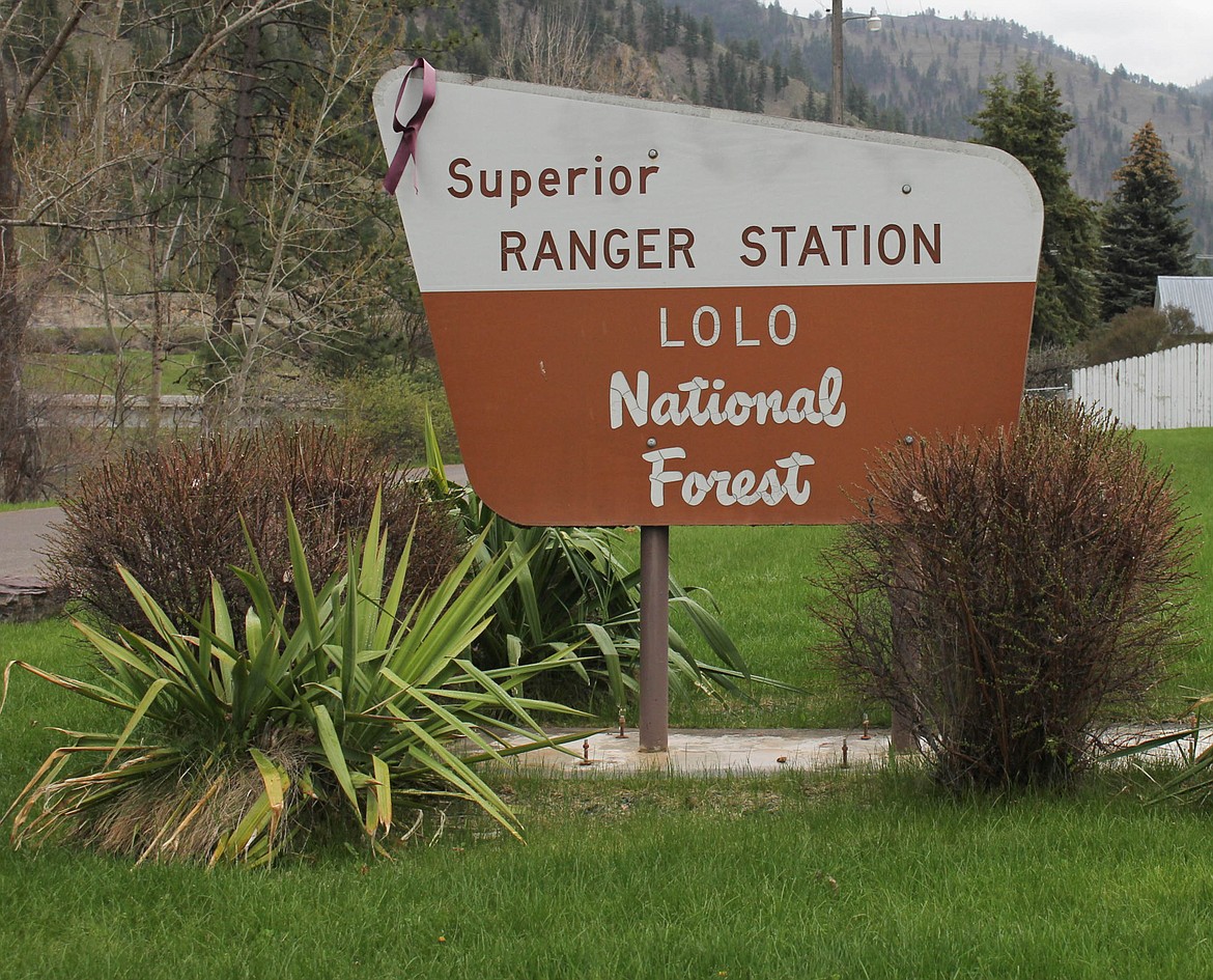
THE U.S. Forest Service began its Summer Trails project in early April, which will establish a motorized off-highway (OHV) route system across 180,000 acres between St. Regis and Lookout Pass. (Maggie Dresser/Mineral Independent)
A pilgrimage through the world of PILT proves to be a twisting ride. For Mineral County, however, the destination is pretty important.
The Payments in Lieu of Taxes program, better known as PILT, provides money to counties that contain large amounts of federal land that cannot be taxed like privately owned property. This year, Mineral County received $1,074,687 in PILT payments, up substantially from the $634,430 received last year.
That is a big welcome jump for a county that depends heavily on federal dollars to provide basic services.
Understanding exactly how PILT works can make a person's head spin with an argument to be made that the system doesn't always work particularly well for small, rural counties such as Mineral. About 93% of Mineral County is government-owned, with most of that land administered by the U.S. Forest Service. Federal land does not generate property tax revenue for the county in the same way privately owned land does. But the people living in Mineral County still need roads, emergency services, law enforcement, public buildings and other basic county services.
PILT was created in 1976 to help compensate local governments for the presence of large amounts of federal land within their boundaries. The program is administered by the U.S. Department of the Interior, which calculates and distributes the payments. PILT applies to a wide variety of federal lands, including Forest Service lands, Bureau of Land Management lands, national parks, wildlife refuges and certain other federal properties. Nationwide, nearly 2,000 counties and other local governments have received PILT payments.
Sanders County took in $1.7 million in PILT funds this year, a 51% increase over 2025. Lincoln County saw a $2.1 million payment, up 150% from last year. Flathead County saw the largest payout in the state at $4.4 million, up 10% from the year prior.
The amount a county can receive isn't simply based on how many acres of federal land it contains, because population plays a major role, which is a rub for rural communities. PILT has a formula that calculates a county's payment and then places a maximum payment, or cap, based partly on population. The smaller the population, the lower the ceiling. Without that population-based ceiling, the federal-land portion of the PILT calculation could produce a substantially larger amount.
In other words, Mineral County has a tremendous amount of federal land, but relatively few people at a headcount of 5,125. That creates a problem with a formula that uses population to establish how much a county can receive.
The difference becomes easier to see when Mineral County is compared to Missoula County which has an estimated population of more than 120,000 people. Because its population is much larger, its PILT payment ceiling is also much higher. When the payments are looked at on a per-acre basis, Mineral County can receive considerably less money for its federal acreage than Missoula County.
For this year, the figures examined show Missoula receiving approximately $3.38 per acre, while Mineral County's figure works out to be about $1.67 per acre. Last year, the difference was even greater, with Mineral receiving roughly 99 cents per acre compared with Missoula's approximately $3.11.
Exactly why Mineral's payment increased so dramatically this year is another question.
PILT funding has historically been provided through annual congressional appropriations, although Congress has also authorized mandatory funding in some years, which can make year-to-year payments difficult to predict.
Mineral County Natural Resource Advisor Willy Peck has been following the PILT issue for several years. Peck said Carol Young, co-chair of the Mineral County Resource Coalition with Peck, submitted a tax bill to the federal government in Mineral County's name in 2018. That resulted in a one-time increase of approximately $500,000 for the county that year. Other counties received similar payments, he said.
"I'm not sure why the big swings occur, but this is an incredible jump for the county," Peck said.
There is another piece to the Mineral County PILT puzzle that has been debated for decades: the Montana-Idaho border at Lookout Pass.
Sen. Denley Loge, R-St. Regis, has been involved in efforts to resolve questions surrounding the state line and the acreage involved. The construction of Interstate 90 through Lookout Pass changed the landscape, and questions remain about exactly where the boundary should be drawn and how that affects the amount of federal land attributed to Montana. There are also questions about acreage associated with the ski area.
"When the state line boundary is straightened out, the Forest Service should finally be able to say which [state border] line they have been paying us from," Loge said.
Another question Loge has raised for years is why Mineral County is not receiving funds for the Montana portion of the Taft Tunnel on the Trail of the Hiawatha. The official BLM survey crew is on site researching the line at this very moment with expectations of being completed this week. Those questions may sound like splitting hairs, but in a county where federal land makes up nearly all the landscape, acreage matters.
ARTICLES BY MONTE TURNER

West End Fire to turn up the heat with chili cookoff fundraiser
What better place to enjoy a bowl of full-blown, mega-scorching-hot chili than at a fire station stocked with wildfire equipment, fire extinguishers and a building full of professionally trained firefighters, EMTs and Quick Response personnel?

Senior center cooks up hot dishes with a side social fun
There’s something about a good home-cooked meal that can bring people through the door, and at the Superior Senior Citizens Center, head cook Jessica Williams seems to have figured out the recipe.
Montana-Idaho border reconfigured after survey retraces original state lines
The Bureau of Land Management has completed its official resurvey of the Montana-Idaho boundary near Lookout Pass, going back to the original survey monuments and retracing the line that was established more than 120 years ago.