Kellogg pushing FEMA on flood maps
JOSH McDONALD | Hagadone News Network | UPDATED 11 months AGO
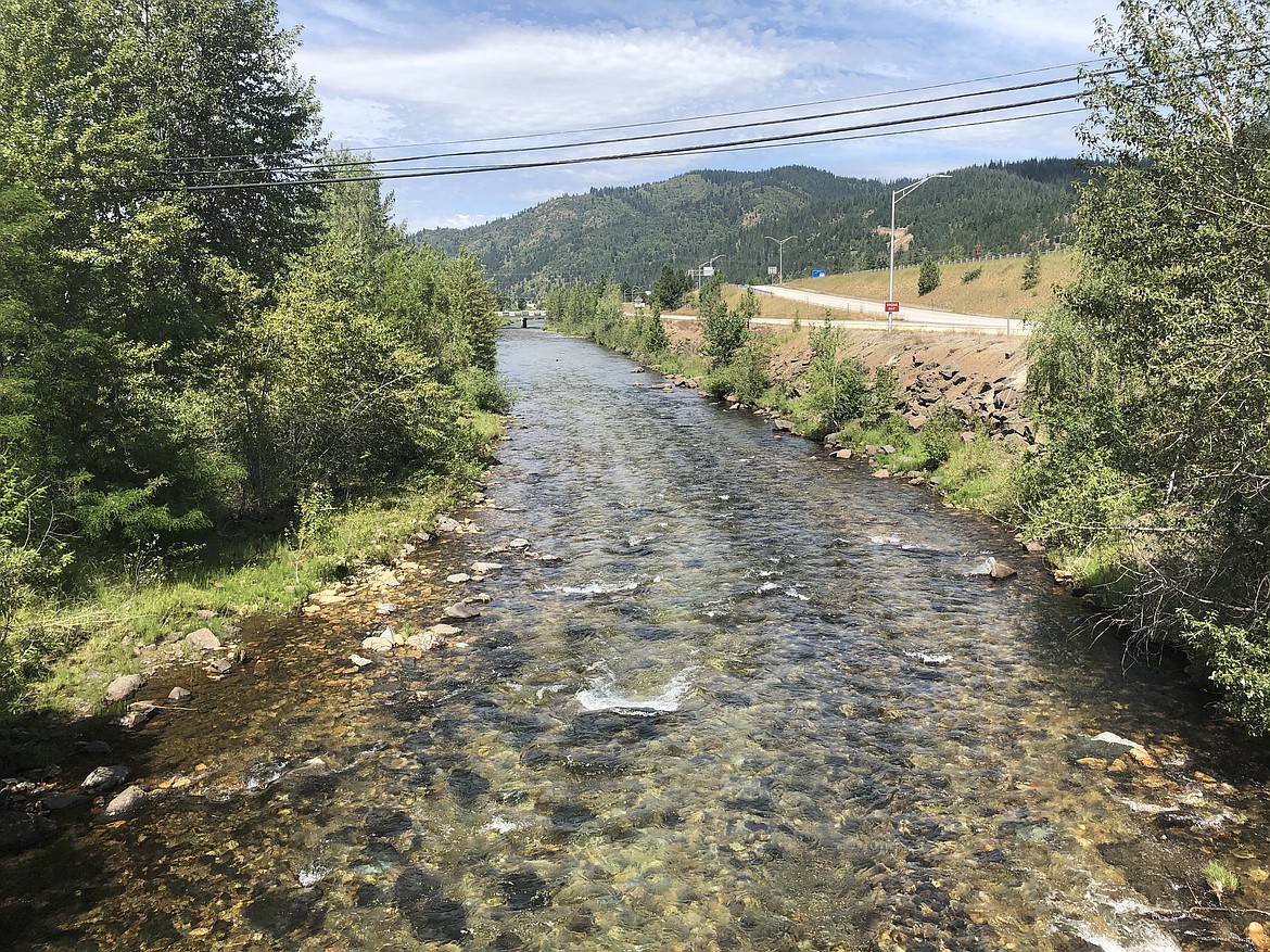
A section of the South Fork Coeur d'Alene River as it cuts through a channel in Kellogg.
JOSH McDONALD
KELLOGG — After years of paying for flood insurance based on what city officials say are outdated and inaccurate maps, Kellogg has once again submitted a Letter of Map Revision to the Federal Emergency Management Agency. And this time, the city is asking for additional support from Idaho’s senators.
“Much of Kellogg's previously designated floodplain no longer reflects actual conditions,” Mayor Rod Plank wrote in a letter to federal lawmakers.
The city’s original LOMR was submitted in early 2021, but FEMA has returned it multiple times, requesting additional clarification.
For years, homeowners along the Interstate 90 corridor in Shoshone County, where the South Fork of the Coeur d’Alene River flows, have been located within a FEMA-designated floodplain. As a result, those with mortgages have been required to carry annual flood insurance, based on FEMA maps that outline up to 500-year flood events.
These designations are based on historical data, including rainfall and stream stage, and represent the statistical probability of a river reaching flood stage in any given year: 10% for a 10-year flood, 2% for a 50-year, 1% for a 100-year, and 0.2% for a 500-year.
Current FEMA maps indicate that 100- and 500-year flood flows would cause significant flooding in Kellogg, Smelterville and Pinehurst, triggering mandatory insurance.
In 2020, the three cities jointly requested updated data from the U.S. Army Corps of Engineers, which has monitored the river for decades. The Corps found that earlier flood predictions were based on incomplete data, leading to inaccuracies in FEMA’s maps.
The South Fork of the Coeur d’Alene River flows through the Silver Valley before merging with the North Fork near the Snake Pit in Enaville. Beginning near Elizabeth Park, it enters a deep channel that runs alongside I-90 through Kellogg, where the riverbanks begin to level out toward Smelterville.
FEMA’s current maps show a 100-year flood filling the channel to the bottom of the bridges. But 2018 Corps measurements indicate it would actually take a 500-year flood to reach that level, suggesting FEMA’s 100-year projections are overstated.
FEMA considers areas with more than a 1% annual chance of flooding to be high risk, requiring flood insurance. The new data suggests many areas in the county fall closer to a 0.2% annual risk.
This marks the city’s third LOMR submission. This time, Kellogg is seeking support from U.S. Sens. Jim Risch and Mike Crapo. Plank sent letters to both, outlining the community’s case and the benefits of the proposed changes.
“The results are clear: the 100-year flow is roughly 60 percent lower than previously estimated, and base flood elevations are four to six feet lower across much of the community,” Plank wrote. “While some areas remain at risk, especially where levee protection is incomplete, much of Kellogg's previously designated floodplain no longer reflects actual conditions.”
According to Plank, the revision would reduce the number of parcels in the mapped floodplain from 1,118 to 523 and shrink the designated floodplain area from about 2,500 acres to 760 acres.
“These changes would provide direct economic relief to Kellogg residents by lowering flood insurance requirements, freeing up land for redevelopment, and supporting reinvestment in our community,” Plank said. “For a small city still working to recover from the long-term effects of being within the Bunker Hill Superfund Site, these benefits are substantial and critical to our resilience.”
Sharon Bosley, director of the Basin Environmental Improvement Project Commission, also submitted a letter to Crapo in support of the LOMR. BEIPC, created by the Idaho Legislature in 2001, coordinates environmental cleanup and restoration in the Coeur d’Alene Basin, which spans parts of North Idaho and eastern Washington.
The LOMR was submitted Sept. 30, just hours before the federal government entered its current shutdown. It’s unclear how long FEMA will take to respond, but city officials hope the added political support will help expedite the process.
ARTICLES BY JOSH MCDONALD
Wet weather could help contain Dudley Fire
Wet weather could help contain Dudley Fire