
Whitefish paddling guide released
KELSEY EVANS | Hagadone News Network | UPDATED 1 month, 3 weeks AGO
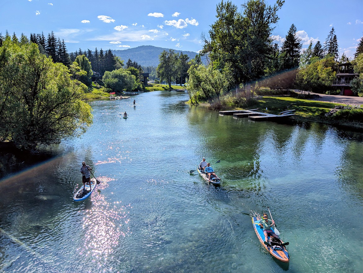
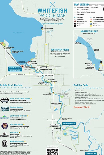
A guide to paddling the Whitefish River is now available on Explore Whitefish’s website and in print at select shops around town.
The Whitefish paddle map covers public access points along Whitefish Lake and the Whitefish River, including put-ins, take-outs, parks, restrooms and parking areas. It focuses on the six-mile stretch between the lake and Highway 40.
The Whitefish River begins at the mouth of Whitefish Lake and flows into the Stillwater River near Kalispell. A float along the river offers an urban yet isolated retreat through Flathead Valley. The slow moving, non-motorized river can typically be paddled in both directions.
The paddle map offers further details on aquatic invasive species inspections and life jacket requirements.
The paddle map published by Explore Whitefish was designed by Whitefish local Jen Saucier of Fir & Larch Creative Studio.
For more information and to find a printable copy of the guide, see explorewhitefish.com/paddle
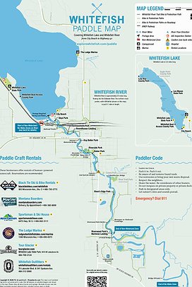 A portion of the Whitefish paddle map and guide. See a full printable version at explorewhitefish.com/paddle
ARTICLES BY KELSEY EVANS
Haskill Creek group seeks permit to host events at Voerman Road property
Haskill Creek Farms on Voerman Road in Whitefish has applied for a Flathead County conditional use permit for a “recreational facility” with the intention of hosting small-to-medium sized events.
Whitefish snowboarder premieres hitchhiking film ‘Mosey’
Jason Robinson’s hitchhiking, snowboarding odyssey film “Mosey” premieres at the Whitefish Performing Arts Center on Friday, Oct. 23.

Election 2026: Newcomer Peachey seeks House District 3 seat
Whitefish Republican Derek Peachey is running for House District 3.